Death Valley
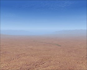
Death Valley  is a large valley surrounded by mountains in California, USA. The valley contains the lowest, hottest, driest location in North America and a great part of the valley is beyound sea level.
Takeoff from Stove Pipe Wells (L09)  and fly east and then south trough the valley. You will pass Furnace Creek (L06) which is 210 ft beyound sea level and the second lowest airport in Flight Simulator.