Hawaii
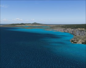
Hawaii  is a group of islands and a state of the United States located in the Pacific Ocean. The standard scenery is detailed and there is plenty of airports.
Flights
A flight from the American west coast to the islands has a distance of at least 2000 nm. Choose Honolulu (PHNL) as the destination.
Explore the islands by your own or select the build-in "Hawaiian Vacation" flights.
Kilauea
Kilauea is an active vulcano the islands. In 1983 one of the eruptions started an you will only see the volcano in eruption in Flight Simulator on that year.
Change the time to a night of year 1983. Takeoff from Hilo Intl airport (PHTO), climb and maintain 5000 ft, and fly heading 204 for 23 nm. Return to PHTO on VOR 116.90.
Runway 26L approach
The runway 8R/26L at Honolulu is build offshore and is known as the Reef Runway. In order to avoid flying over the city and the mountains the LDA/DME approach to 26L is offset 45° from the runway. You get a good view on the city skyline while descending before you at last make the left turn that lines you up with the runway. Use this chart for the approach.
Haleakala_Observatory
PHOG, hdg 130, clmb 10.000 ft